Trail Wayfinding Plan
Trail Wayfinding Plan
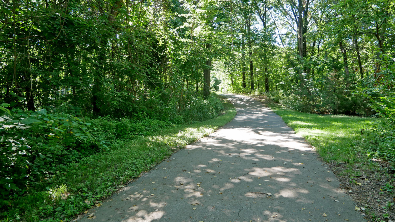
Overland Park is developing a trail wayfinding plan to help residents and visitors navigate to points of interest and key destinations along the Tomahawk Creek and Indian Creek trails. These trails are vital connectors between neighborhoods, parks, schools, and community destinations, but for many users, finding their way can be confusing.
This project will help determine the design and placement of signage along the trails to make walking, biking, or rolling more accessible, understandable and enjoyable for everyone.
Community Engagement
This summer, we asked for your help to shape the future of our trails, and you delivered! We gathered valuable feedback through an online survey and by meeting many of you in person at our September pop-up events.
Your input helped us better understand how you use the trails, what destinations you want to reach and how we can improve the experience for everyone.
A huge thank you to everyone who participated! Your thoughts are helping us make our trail system even more amazing.
What Will the Plan Do?
The wayfinding plan will:
- Identify key destinations that should be clearly marked along the trails
- Identify a strategy for sign types and placement along the trails
- Ensure that wayfinding is inclusive and easy to understand for all users
- Help reinforce the trail system as a safe, connected, and valued community asset
The project is guided by input from community members, local stakeholders, City departments and leaders, and regional planning partners.